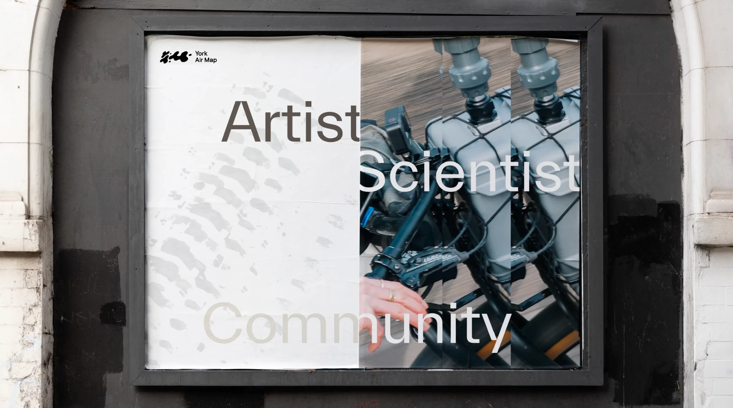
York Air Map
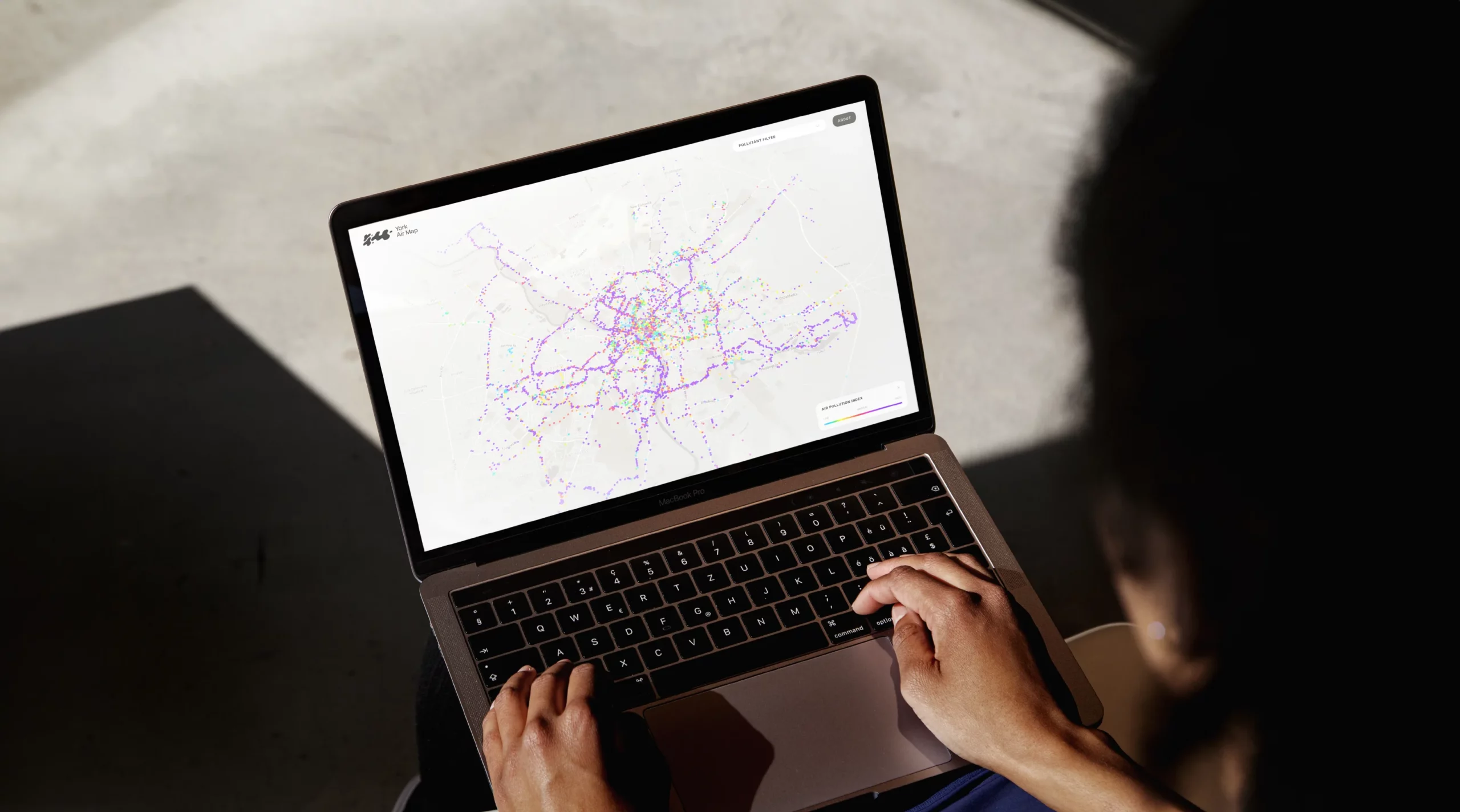
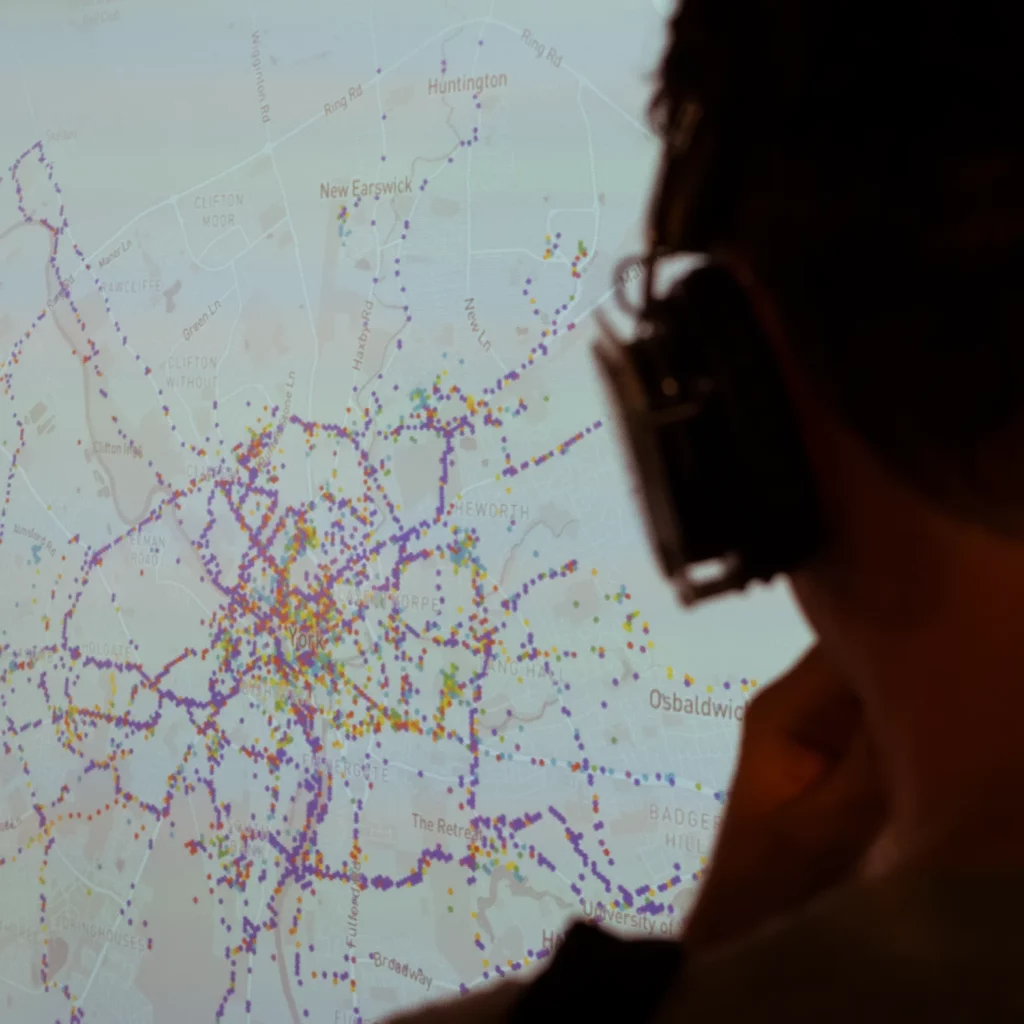
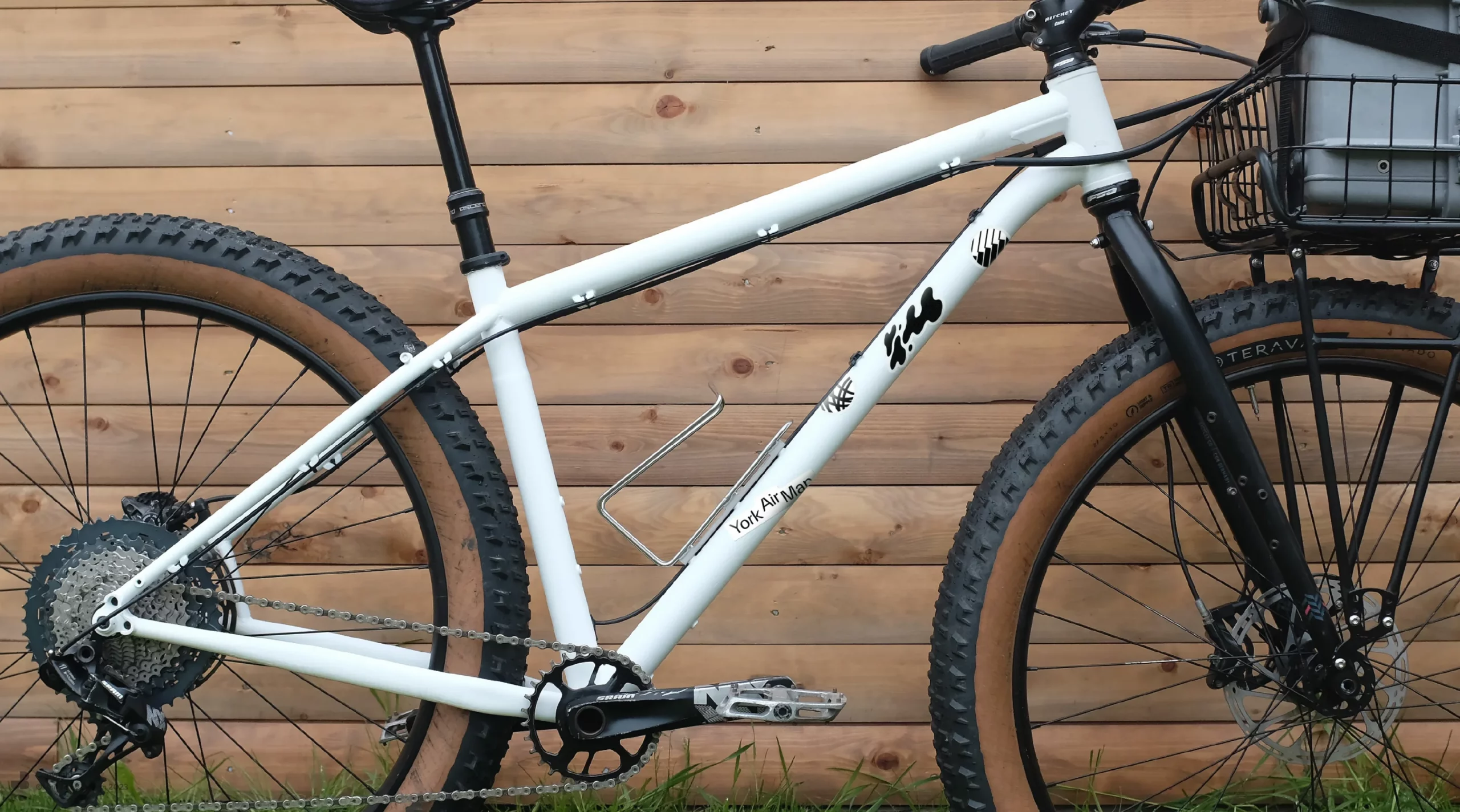
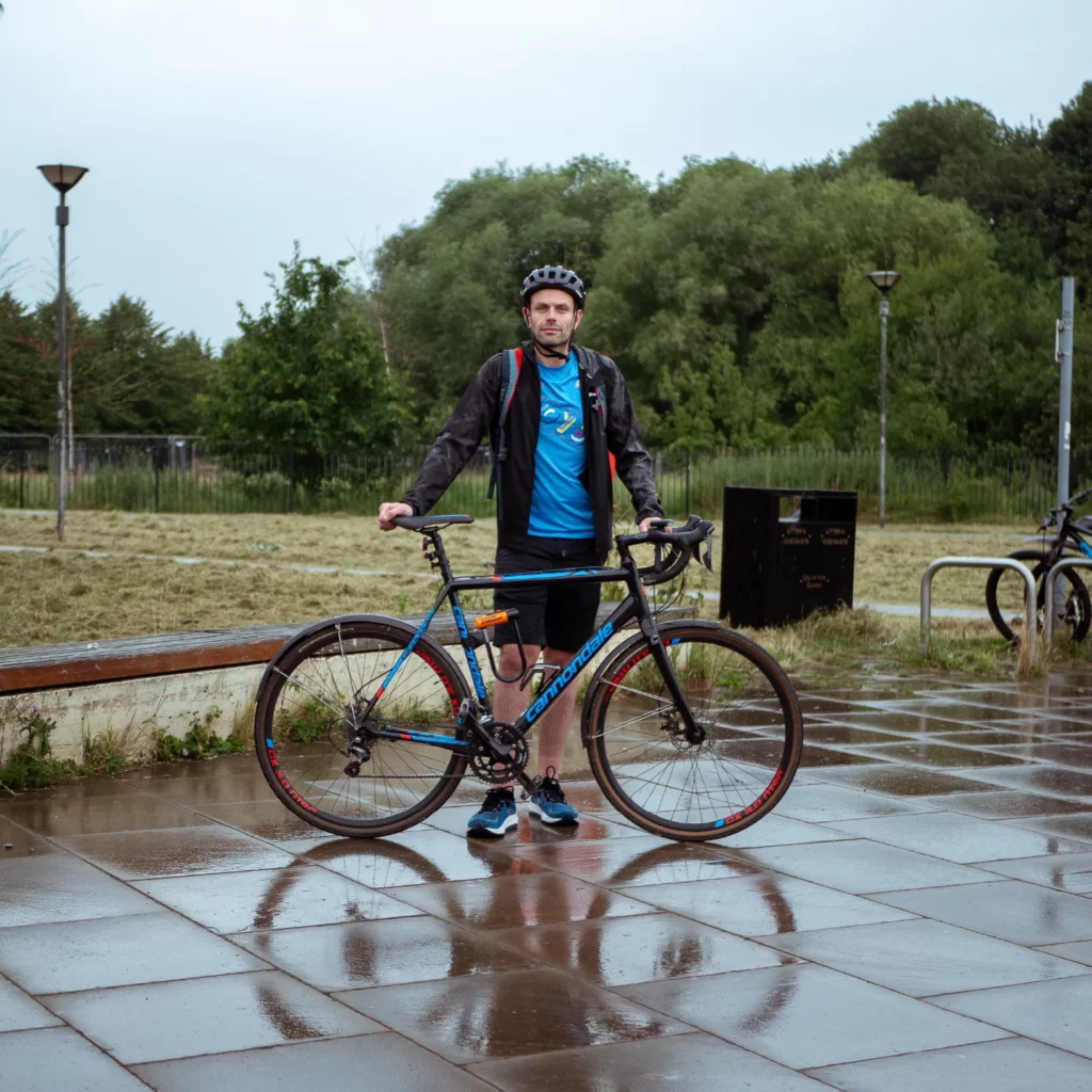
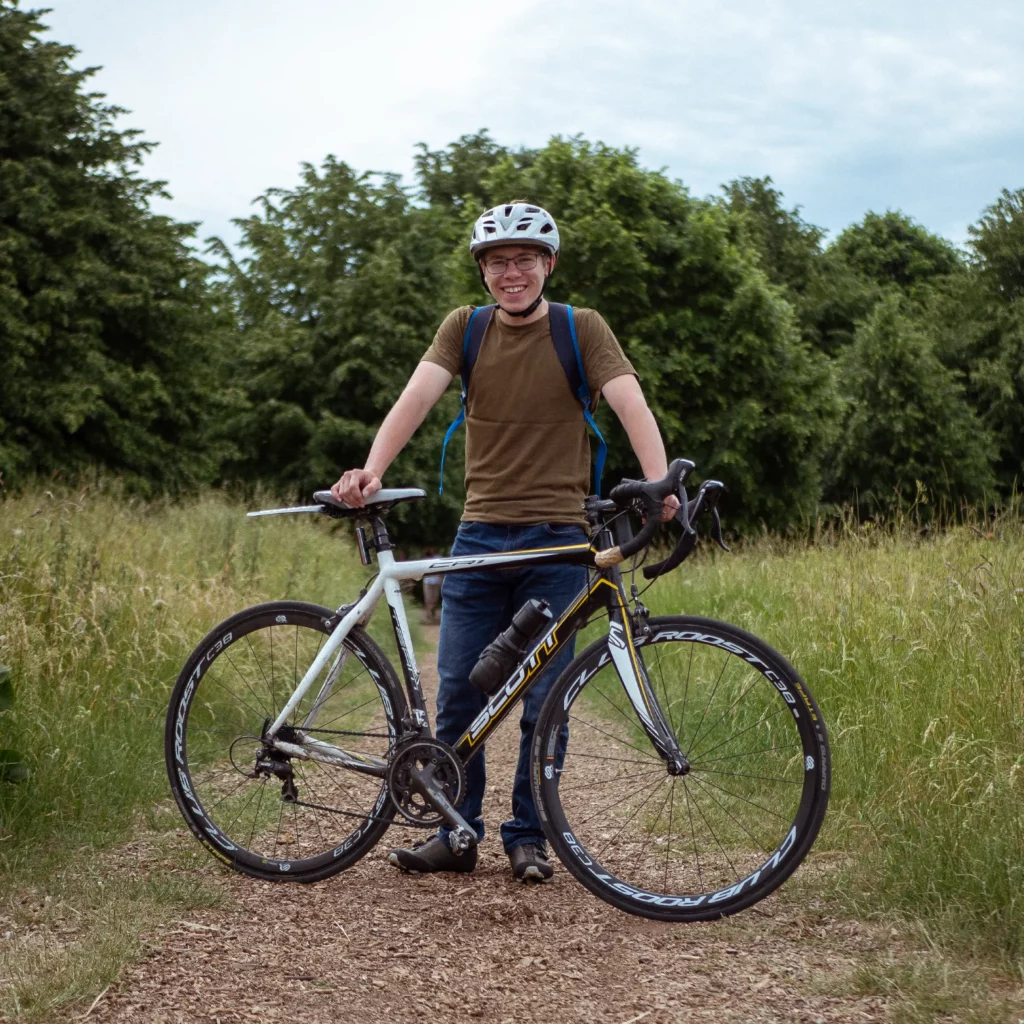
Working with Clare Nattress and Daniel Bryant we developed an interactive web interface to map their street level pollution data collected using the Plume Flow sensor.
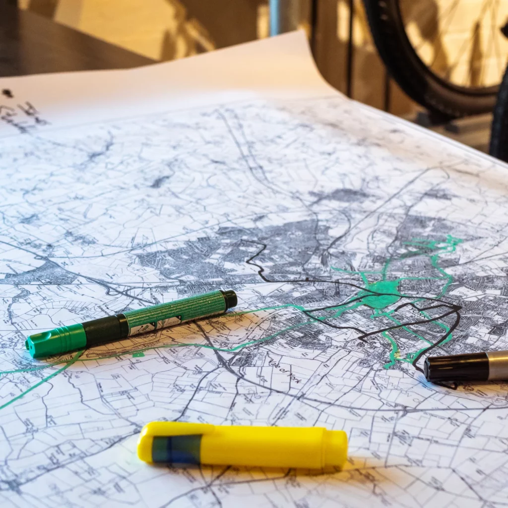
Volunteer cyclists were tasked with cycling the streets of York using their Plume sensors to map areas of high pollution within York. We then mapped this data to an interactive interface merging and averaging across hexagonal cells.
The data can also be filtered by type of pollutants to see a more detailed picture across the city.
See the project: yorkairmap.org
Services
Brand Identity, Website Design & Development
Sector
Education & Third Sector